Challenging Hikes near Cooke City
The areas around Cooke City are filled with excellent hiking trails, ranging from very easy hikes to very difficult ones. In this article, we focus on four of the more difficult hiking trails that start near Cooke City. Obviously, each of these trails can be shortened into easier out-and-back hikes. Simply turn around when you've had enough, and head back. You'll still get to enjoy a few hours on some of the best hiking trails in our part of the country. If you need more information on hiking trails near Cooke City, give us a call at your convenience.
Challenging Hikes near Cooke City

Hiking
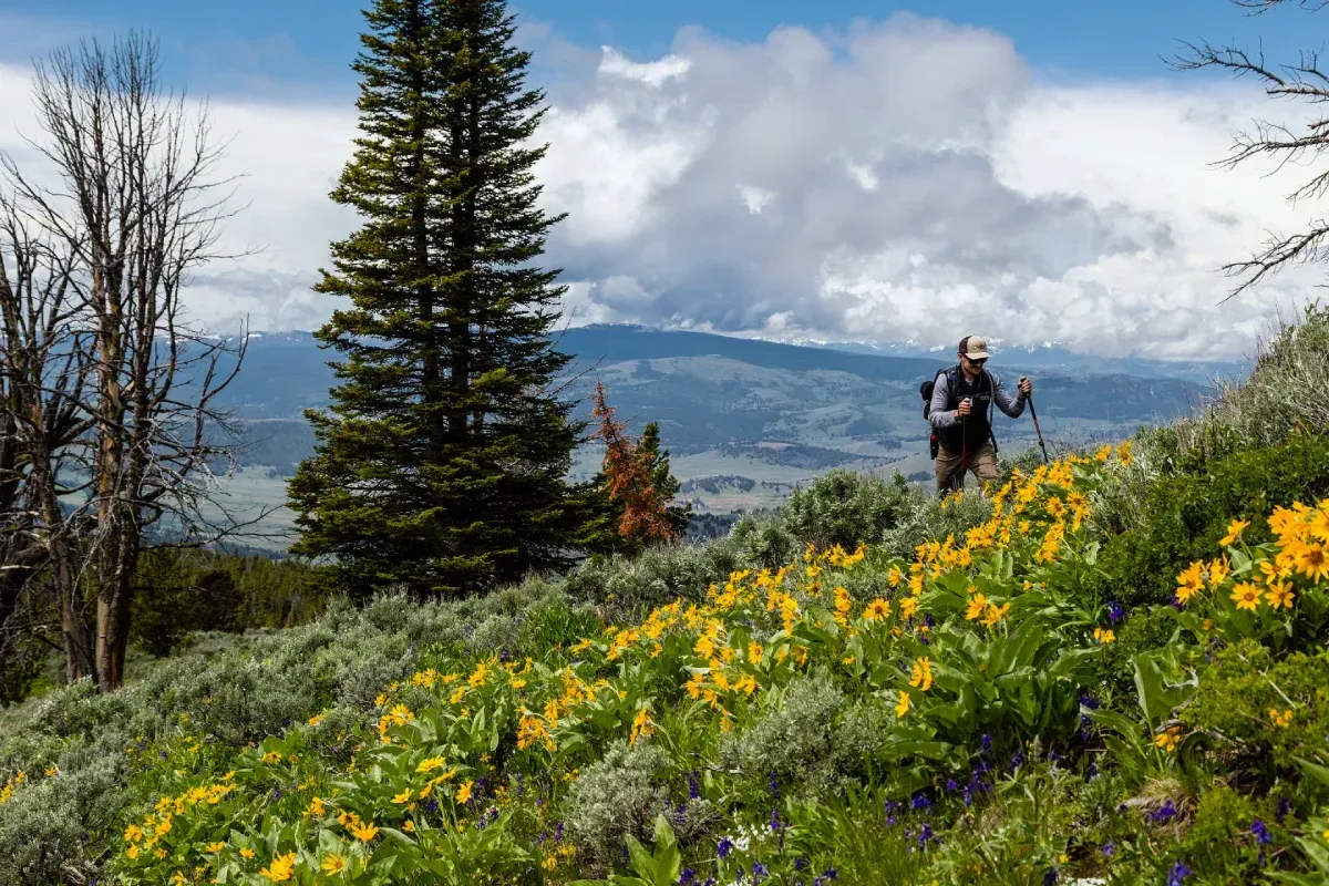
With more than 900 miles of trails in Yellowstone National Park and over 700 miles in the Absaroka-Beartooth Wilderness, Cooke City and Elk Horn Lodge Motel and Cabins are perfectly situated in the heart of a hiker’s paradise. Whether you’re heading out for a short day hike or a multi-day backpacking adventure, you’ll find yourself surrounded by vibrant wildflowers, crystal-clear streams, and sweeping mountain views.
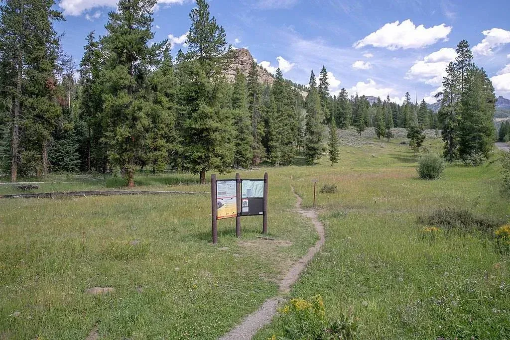
Local maps and guidebooks are readily available to help you explore trails right from your doorstep at Elk Horn Lodge Motel and Cabins.
A quick but important reminder: this is Bear country. Always hike in groups of three or more, carry bear spray, and know how to use it. Bear Spray is available for purchase at several locations’ steps away from the Elk Horn Lodge Motel and Cabins.
To get you started, check out these helpful resources:
Republic Pass Trail
- Location: North Absaroka Wilderness Area
- Length: 10.4 miles
- Difficulty: Moderate
Republic Pass Trail is a moderately difficult out-and-back trail that starts a little south of Cooke City near the Montana-Wyoming border and runs to Republic Pass.
Much of the trail runs along Republic Creek, through a valley between Republic Mountain and Woody Ridge. Elevation gain is around 2,500 feet, and the trail gets steeper as you near Republic Pass.
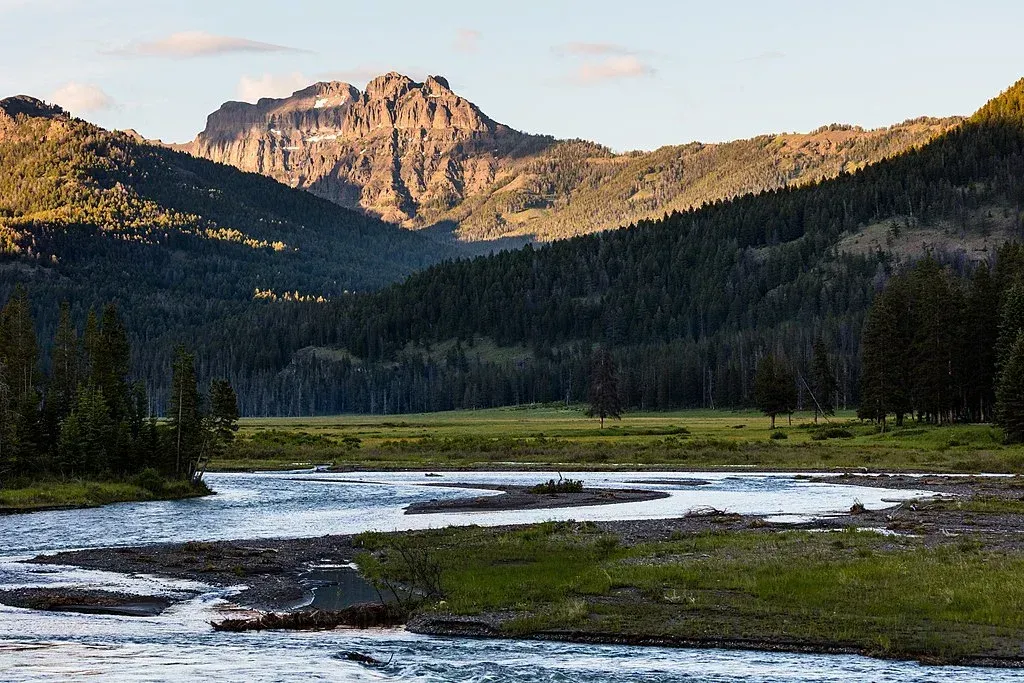
The views at Republic Pass are what make this hike worthwhile. Looking out over northeast Yellowstone, you'll see Amphitheater Mountain, and to the north are Montana's Absaroka-Beartooth Mountains.
The entire hike can take around five hours. Note that dogs are not allowed in this trail.
Specimen Ridge Trail
Location: Yellowstone National Park
Length: 17.5 miles
Difficulty: Hard
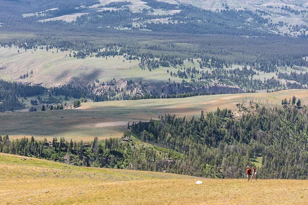
Specimen Ridge Trail is a difficult point-to-point trail in Yellowstone National Park. In spite of the difficulty, this trail is considered one of Yellowstone's best. Specimen Ridge Trail begins on the Northeast Entrance Road near Tower Junction and ends in Lamar Valley at the Soda Butte/Lamar Valley Trailhead. Elevation gain is about 3,500 feet, with the high point on Specimen Ridge at 10 miles out. After that, the trail descends toward Lamar River.
There are a few things to keep in mind when you hike Specimen Ridge Trail. First, the trail is not always clearly marked. You'll probably need a map or GPS. In addition, Lamar River may be impossible to cross if you're hiking before late July or early August. Finally, you're likely to come across buffalo, as well as bears, on the hike. Keep your distance.
The entire Specimen Ridge Trail hike will take all day (at least 8-9 hours). Dogs are not allowed on Specimen Ridge Trail.
Pebble Creek Trail
Location: Yellowstone National Park
Length: 12.0 miles
Difficulty: Moderate
Pebble Creek Trail is a moderately difficult point-to-point trail that begins at the Warm Creek Trailhead (near Yellowstone's Northeast Entrance) and runs to Pebble Creek Campground. Elevation gain is around 1,200 feet; however, most of this occurs in the first mile or so.
For the most part, the rest of the trail is a gradual downhill hike.
Pebble Creek Trail offers you great views of Soda Butte Creek, Abiathar Peak, and Amphitheater Mountain. In addition, you're likely to bighorn sheep and mountain goats on the mountainsides, as well as elk and mule deer in meadows and valleys along the way.
The entire hike takes around 4-5 hours. Dogs are not allowed on the trail. If you'd prefer a shorter version of this hike, you can turn around at the four-mile point (the second Pebble Creek crossing), making it a three-hour, out-and-back hike. You'll still get to enjoy fantastic views of this part of Yellowstone.
The Beaten Path
Location: Absaroka-Beartooth Wilderness
Length: 26.0 miles
Difficulty: Hard
The Beaten Path is an extremely difficult 26-mile, point-to-point hike that starts at Clarks Fork Trailhead near Cooke City and ends at the East Rosebud Trailhead in Red Lodge. Along the way, you'll hike through some of the most spectacular parts of the Absaroka-Beartooth Wilderness. If you do the entire hike, you'll pass by pristine alpine lakes, majestic waterfalls, and massive mountain peaks. Most of the trail is above the tree line, so panoramic views of the surrounding mountains are common.
Elevation gain on The Beaten Path is 3,100 feet, with most of it occurring the first six miles out of Cooke City. The high point on the trail is near Fossil Lake (10 miles out). After that, the trail descends all the way to the East Rosebud Trailhead. On this trail, leashed dogs are allowed, but, considering the wildlife you're likely to encounter, you might want to avoid bringing a pet along.
Additional Resources
Need more information regarding hikes in the Cooke City area? Here are a few additional resources should be useful. And, you can always contact us. We'll be glad to answer any questions you might have.
- The Hiking Project Trail Guide.
Detailed descriptions of hikes. Listed by state.
- The Outdoor Project,
Hiking and Backpacking. Excellent trail descriptions. Just search for a specific trail or area.
- MTHikes. Information on Montana hiking trails, including descriptions, maps, and guides.